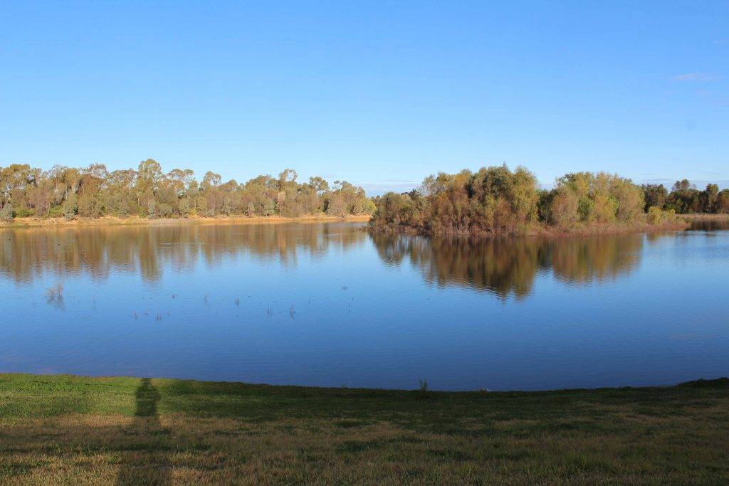
Cobar has recorded its wettest winter in years and there is more on the way according to the Bureau of Meteorology.
Already 320mm of rain has fallen this year, around 80mm more than what is expected on average to the end of July.
With more solid rain expected this week, Cobar could potentially exceed its average yearly rainfall total by the end of July.
On average, Cobar is expected to receive about 396mm of rain per year.
The rain has started to impact local water storage facilities with the Newey and Old Res both being at their highest levels in over 12 months.
The Newey was all but dried up in April after a dry start to the year with only 22mm of rain in January and February.
March was wetter with 68mm recorded, while April was also relatively dry with just 39.4mm for the month.
Above average rainfall has fallen since then with 75.6mm in May and 112.4mm in June.
The forecast for this week is more rain with a very high chance of up to 30mm falling today.
The chance of rain tomorrow will drop slightly however there is still up to 4mm forecast.
Friday may have an afternoon shower with a slight chance of rain, but things should start to clear up for the weekend with mostly sunny conditions Saturday and a partly cloudy day expected on Sunday.
The rain this week is expected to keep temperatures higher with a top of 19 forecast today and 21 tomorrow, while Friday will be the warmest day of the week with a top of 23.
After the clouds clear on the weekend cool conditions are expected with a top of 14 on Saturday and a low of eight, and 14 degrees again on Sunday with a low of four.
Last week temperatures were generally below average with 14 degrees on Tuesday, 11.5 on Wednesday (the coldest day of the week), 12.7 degrees on Thursday and 13 on Friday.
Weekend temperatures were above average with a top of 16 degrees on Saturday and a warm and sunny 20.2 degrees on Sunday.


